Members View Specific Record Number Scroll down the record
*****SWAAG_ID*****
966
Date Entered
12/12/2016
Updated on
15/12/2016
Recorded by
Tim Laurie
Category
Settlement
Record Type
Archaeology
SWAAG Site
Whitaside
Site Access
Public Footpath
Record Date
11/12/2016
Location
Walled pastures below (North of) Robson House Farm
Civil Parish
Grinton
Brit. National Grid
SD 9792 9710
Record Name
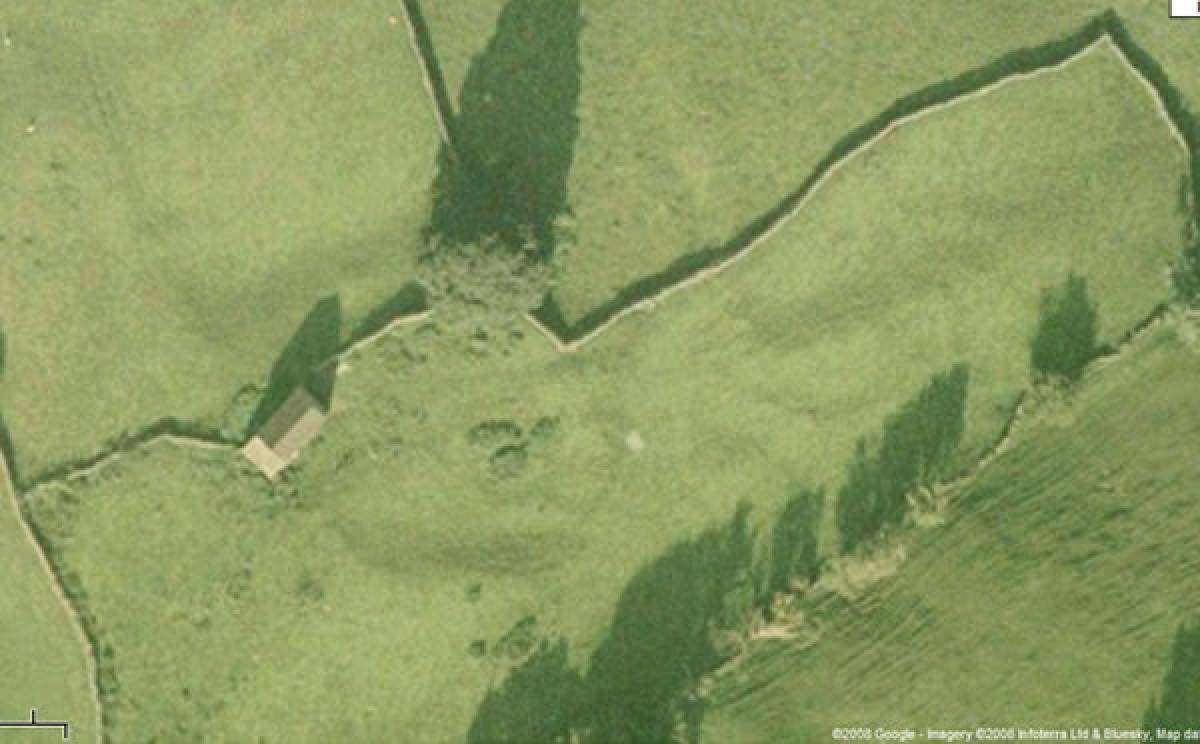
Curvilinear enclosed settlement in pastures below Robson House. The more easterly of two adjacent similar settlements.
Record Description
Large curvilinear enclosed deeply scooped (levelled into the hill slope) settlement platform with rear scarp and front apron originally stone revetted. Four visible stone founded round houses within.
The enclosing perimeter bank survives in part on the eastern side.
Associated track, lynchets and field banks survive in improved pasture the vicinity of this well preserved settlement.
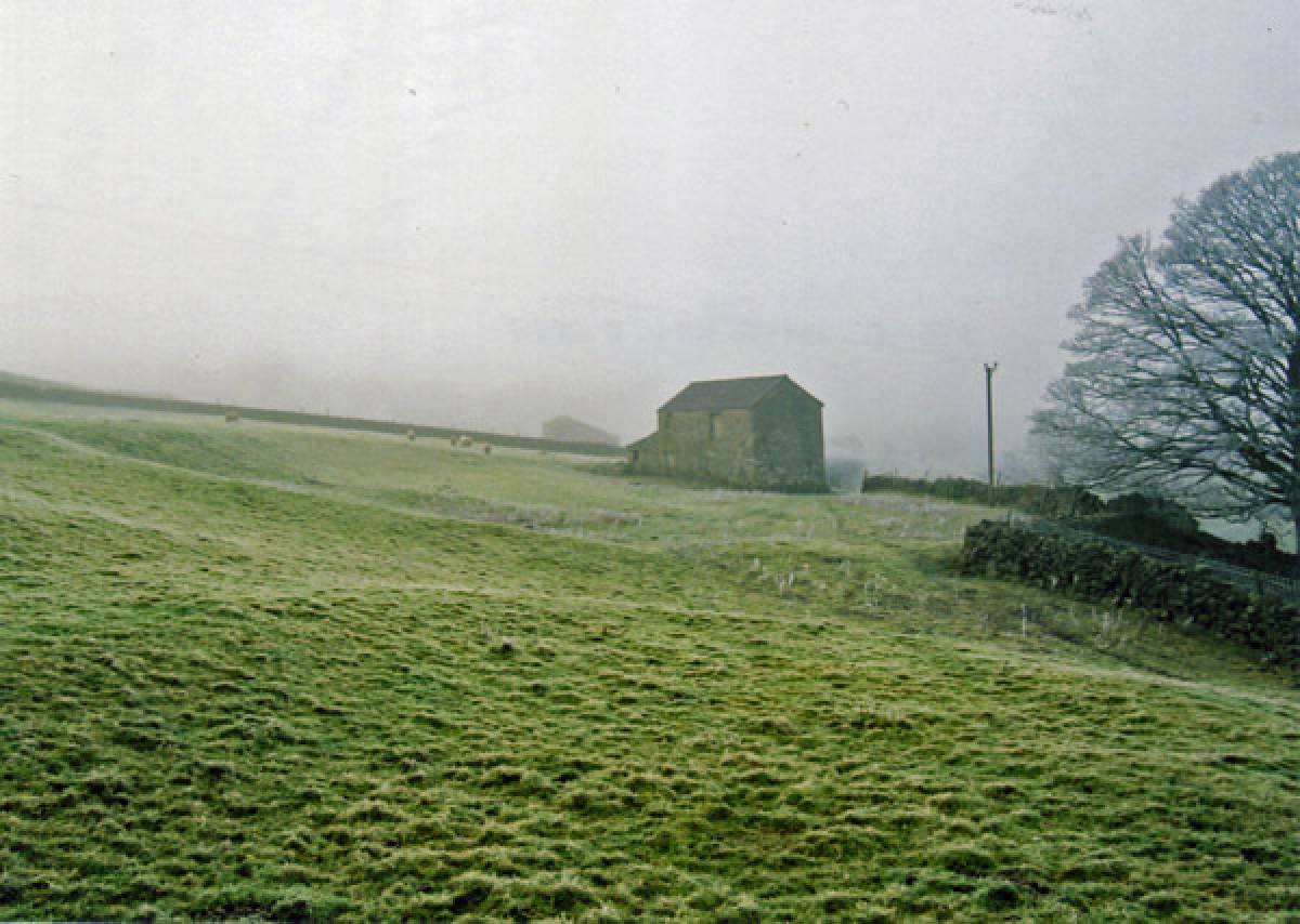
A modern barn has been built on the North West segment of this settlement platform.
This settlement is the more easterly of two adjacent similar settlements.
The second settlement (to be recorded separately) is located in the adjacent improved pasture some 200m to the west. This is a settlement of similar character and both settlements are of Native Late Iron Age character and may have been occupied during the period of Roman Occupation. Both settlements and associated field banks are very ploughed down by subsequent agricultural operations in improved pasture.
Both Sites 1 and 2 are unsurveyed. Aerial photographs should assist in the interpretation of these large settlements
Dimensions
See photos
Additional Notes
Archaeological notes:
Stone built, curvilinear scooped platform settlements preceded by timber built Phases have been shown to have been occupied from the Prehistoric Iron Age through the period of Roman Occupation, throughout the Uplands of Northern Britain (see Burgess, 1970. Jobey, 1960-64, Coggins and Fairless, 1980. RCHME Westmoreland, Laurie 1986).
References:
•Burgess, C.B. 1970, Trans D&N 2, 1-26.
•Coggins, D and Fairless K.J. 1980. Trans. D&N 5, 31-8
•Jobey, G. Arch. Aeliana 4th Series 38,1960, 1-38; 39, 1961, 87-102; 40,1962, 47-58; 41, 1963, 19-35 and 211-215; 42, 1964, 41-64.
•Laurie, T.C. 1986. An enclosed settlement near East Mellwaters Farm, Bowes, Co Durham. Durham Arch. J. Vol. 1, 35-39.
For discussion on the timber/stone built settlement succession in the northern uplands, from unenclosed round house settlements of the Mid to Late Bronze Age to palisaded settlements during the earlier Iron Age, then enclosed curvilinear settlements of later Iron/RB Age and finally to enclosed rectangular settlements of the Native Roman Period. see the Publications of Colin Burgess and Professor George Jobey cited above.
•Jobey,G Arch. Aeliana 5,1, 1973, 55-79; Burgess, C. in Burgess,C
•Miket (ed.), Between and Beyond the Walls, 1984, 164-73